A coastal dune lake woven directly into the 30A landscape.
Allen Lake
Lake 5 of 15, west to east · Dune Allen
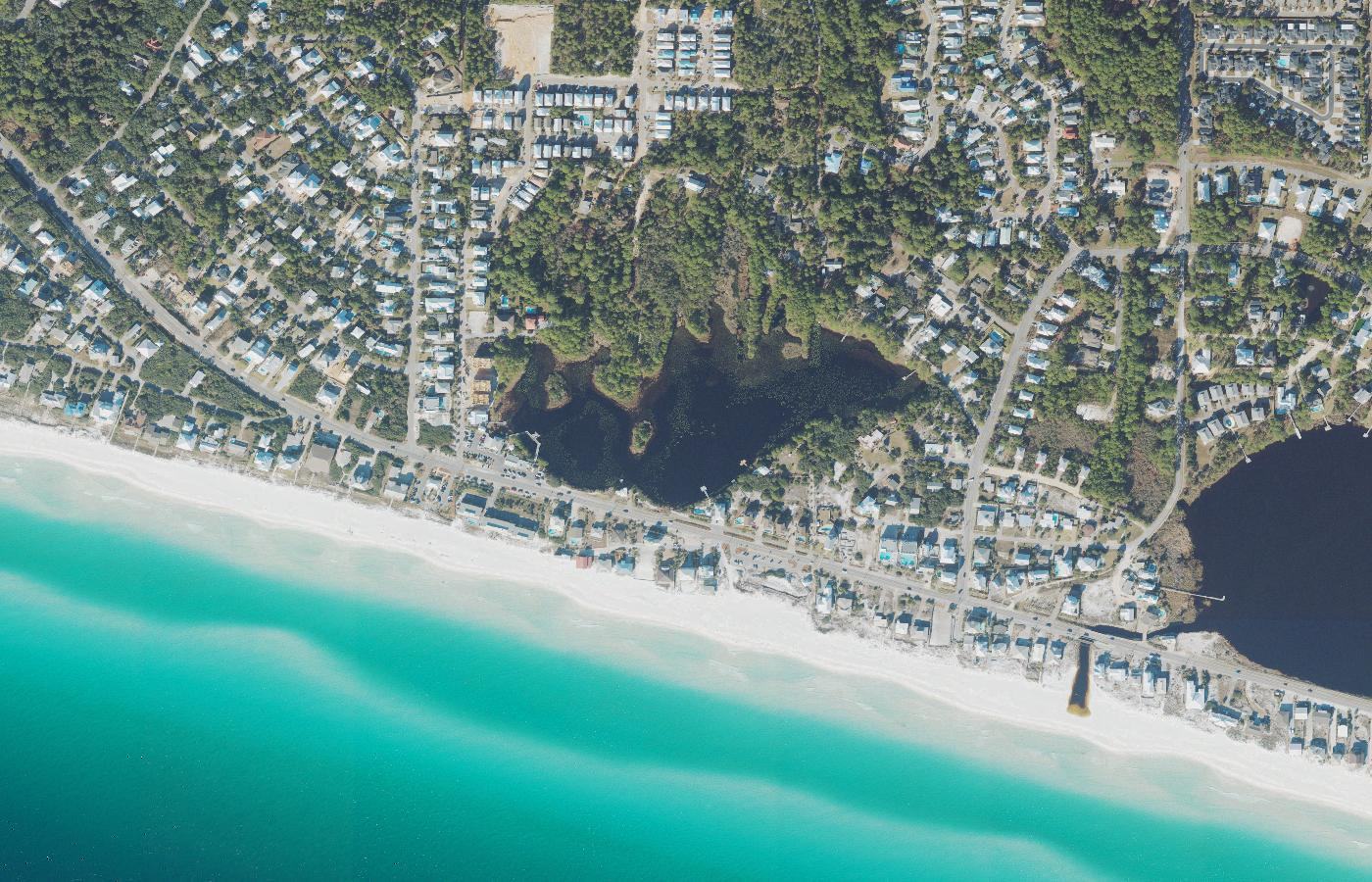
Aerial photograph of Allen Lake in Walton County, Florida, from the U.S. Geological Survey National Agriculture Imagery Program. The frame is centered on the Florida LAKEWATCH site Walton-Allen-2 and the Choctawhatchee Basin Alliance site Lake Allen North. Photo by U.S. Geological Survey, public domain, via the USGS National Map.
About
Allen Lake sits in Dune Allen where people can see it from County Road 30A. It covers about 19 acres. When water leaves the lake toward the Gulf, it drains under the roadway.
That culvert is a plain picture of how this coast is built: a dune lake, a two-lane road, and the beach occupy the same narrow strip. The lake is still a coastal dune lake. The path to the Gulf has been fitted to the road.
Public access
The lake is visible from County Road 30A. This guide does not describe a separate public boat ramp. Drainage toward the Gulf passes under the road. Viewing from the public right of way is not the same as access to the shore.
Access rules, park fees, and reservation systems change. This page is a summary for orientation, not a permit or a promise that a shore is open.