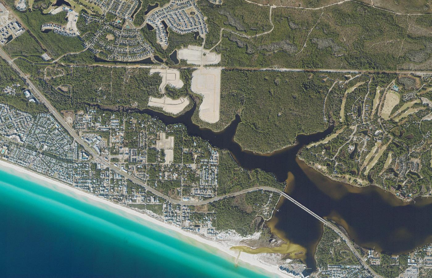
The largest of Walton County's coastal dune lakes.
Lake Powell
Lake 15 of 15, west to east · Walton / Bay county line
Aerial photograph of Lake Powell on the Walton County and Bay County line, Florida, from the U.S. Geological Survey National Agriculture Imagery Program. The frame is centered on the Florida LAKEWATCH site Walton-Powell-1. Photo by U.S. Geological Survey, public domain, via the USGS National Map.
About
Lake Powell is the giant of the group. Choctawhatchee Basin Alliance morphometry puts it near 710 acres. Park descriptions have sometimes said nearly 800. Either figure places it far above Western Lake, the next largest basin in this guide. It straddles the line between Walton County and Bay County and is associated with Camp Helen State Park.
The entire lake is an Outstanding Florida Water, a state classification that sets a stricter standard of protection. Size, the county-line setting, and that designation make Powell a different scale of dune lake from the smaller basins to the west. It is still the same kind of system: a coastal lake with an intermittent relationship to the Gulf, not a bay that stays open.
A single access point shows only part of a lake this large. The acreage difference between sources is left in view on purpose. This guide would rather show the spread than pretend one shoreline measurement is final.
Public access
Camp Helen State Park is the public land associated with Lake Powell. The lake crosses the Walton County and Bay County line, so one park entrance is not the whole shore. Confirm which banks are public before launching or walking a beach path.
Access rules, park fees, and reservation systems change. This page is a summary for orientation, not a permit or a promise that a shore is open.
Photographs
-
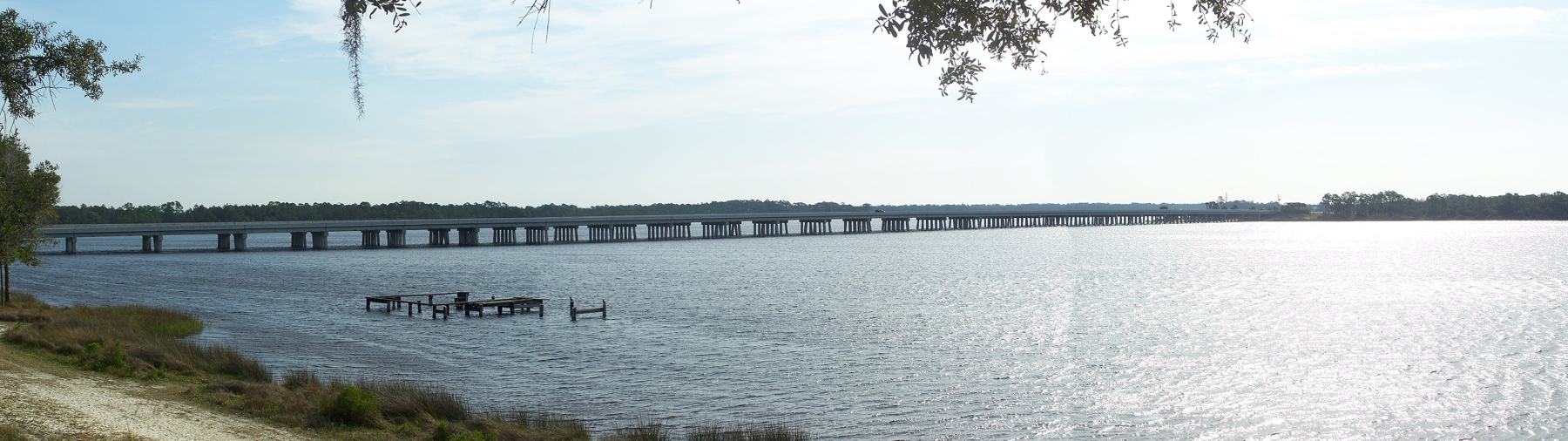
Bridge across Lake Powell, seen from Camp Helen State Park. Photo by Ebyabe, CC BY-SA 3.0, via Wikimedia Commons. -
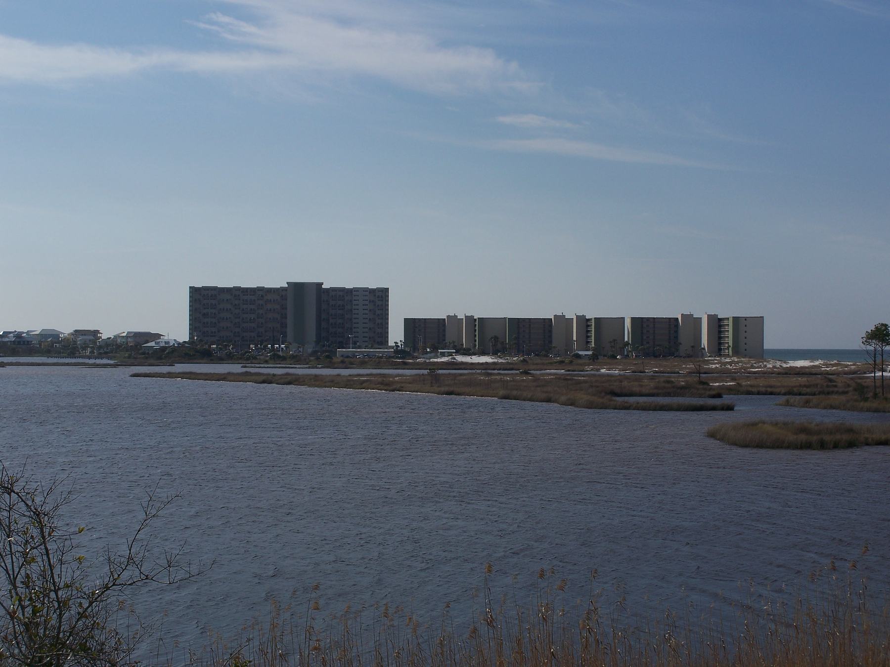
Wetland at Camp Helen State Park, the public park on Lake Powell. This frame is the marsh, not an open view of the lake. Photo by Ebyabe, CC BY-SA 3.0, via Wikimedia Commons.

